 Neuerscheinungen 2010Stand: 2020-01-07 |
Schnellsuche
ISBN/Stichwort/Autor
|
Herderstraße 10
10625 Berlin
Tel.: 030 315 714 16
Fax 030 315 714 14
info@buchspektrum.de |

Khaled Hazaymeh
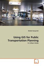
Using GIS for Public Transportation Planning
In Urban Areas
2010. 76 S. 220 mm
Verlag/Jahr: VDM VERLAG DR. MÜLLER 2010
ISBN: 3-639-30132-3 (3639301323)
Neue ISBN: 978-3-639-30132-8 (9783639301328)
Preis und Lieferzeit: Bitte klicken
Urban planning is one of the main applications of GIS. Urban planners use GIS both as a spatial database and as an analysis and modeling tool. The applications of GIS vary according to different stages, levels, sectors, and functions of urban planning such as transportation network. This transportation network can be rightly stated as the lifelines of the people that connect both urban and rural areas.
Khaled Hazaymeh is with the GIS and Remote Sensing Section of the Departement of Geography at Yarmouk University in Jordan. He has a Master of Remote Sensing and GIS from UPM and BA in Geography and Spatial Planning from Yarmouk University. His research of interests includes the applications of Remote Sensing and GIS in Urban Planning


